Louisville Loop
About Louisville Loop
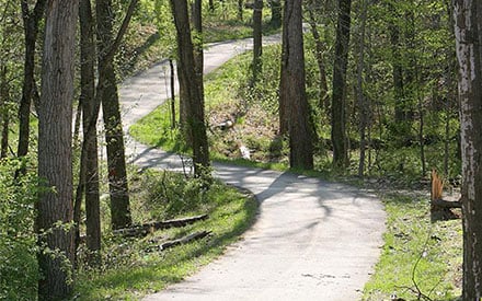
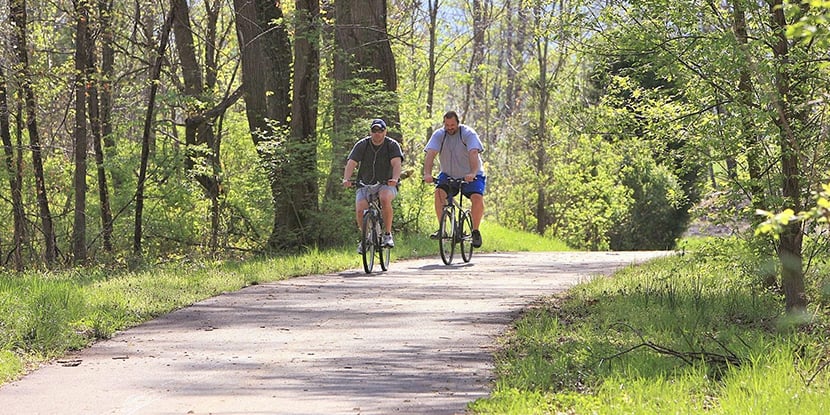
The Louisville Loop is a path connects several neighborhoods of Jefferson County with paved and off-road sections for biking and pedestrian trail walking. It is part of the planned 100-mile ring that will ultimately circle Jefferson County.
Wildlife viewing opportunities on the Louisville Loop include areas in downtown; Lannan Park; Portland Wharf Park; Shawnee Park; Mill Creek; the Cane Run Road and Watson Lane corridors; and the Parklands of Floyds Fork. More than half of the loop corridor is complete.
Featured Adventures
Hiking
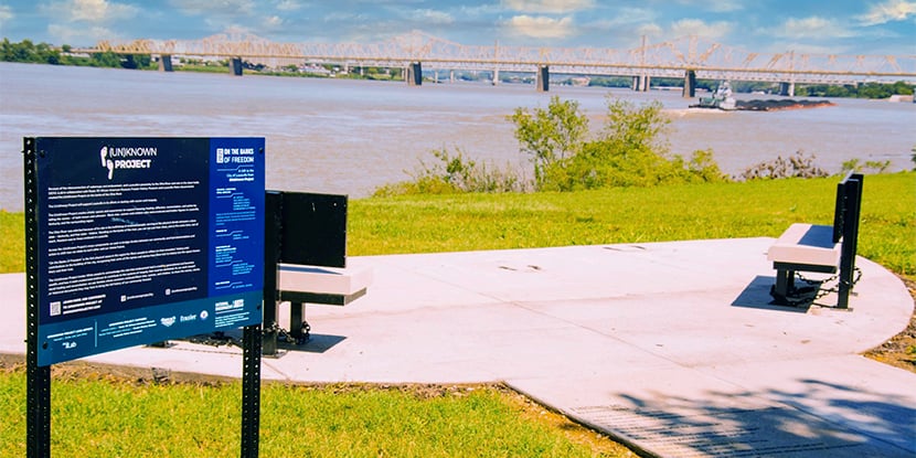
Hike the section of the Loop between Riverside Park and Riverside: the Farnsley-Moremen Landing. This section of the Loop offers continuous views of the Ohio River. Watch barges travel up and down the river, and imagine yourself making the trip from Louisville to the Gulf of Mexico. You might catch a glimpse of a bald eagle as it soars above the Ohio River.
Biking
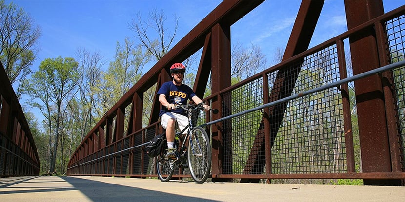
The section of the Louisville Loop from Waterfront Park (downtown) to the current terminus of the Louisville Loop at the Mill Creek Power Station (Watson Lane) is a popular trip for cyclists seeking a longer ride. Riders must currently travel on-road for some stretches; however, plans are in place to make the entire segment and off-road path. Multiple places are available along the way to stop for lunch or refreshments or to catch your breath.
