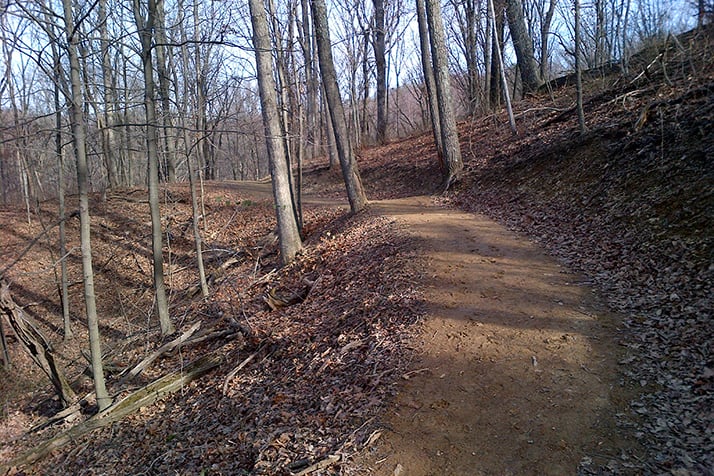
Accessed from the Horine Trailhead parking lot. Most of the trail is moderate in difficulty, following flat ridges until it traverses two valleys on the southwest side where the elevation changes are strenuous with 200 ft. elevation changes. Since the trail leads hikers through upland and lowland habitats, a good diversity of plants, animals and geology can be discovered. A short diversion at marker H14 will take hikers to the Horine family cemetery.
Download full Horine Reservation trail map here.


